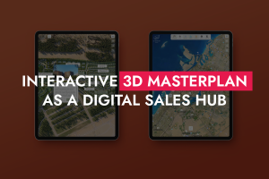
Interactive 3D Masterplan in Urban Planning & City Districts
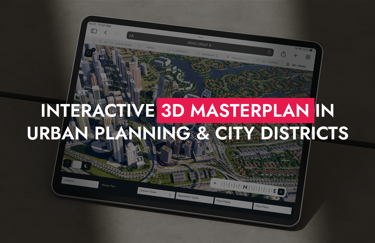
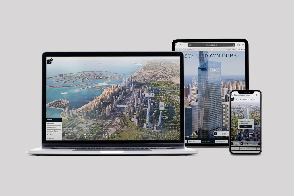
Cities are becoming more complex, and urban projects are growing in scale. New neighborhoods, urban redevelopment, smart city initiatives, and infrastructure projects require not only high-quality planning but also clear communication. After all, in such projects, it’s important to convey the vision not only to investors but also to residents, partners, and government agencies. This is where an interactive 3D masterplan becomes a key tool – it allows people to visualize the city’s future even before it’s built.
When Scale Calls for New Tools
At the city or neighborhood level, traditional presentation tools quickly lose their effectiveness. Master plans, drawings, and even individual renderings are unable to convey the complexity of urban planning solutions. When it comes to new districts or the redevelopment of existing areas, it’s important to show not only the architecture but also the logic behind the development: how functions interact, how pedestrian flows are organized, and how the space changes over time.
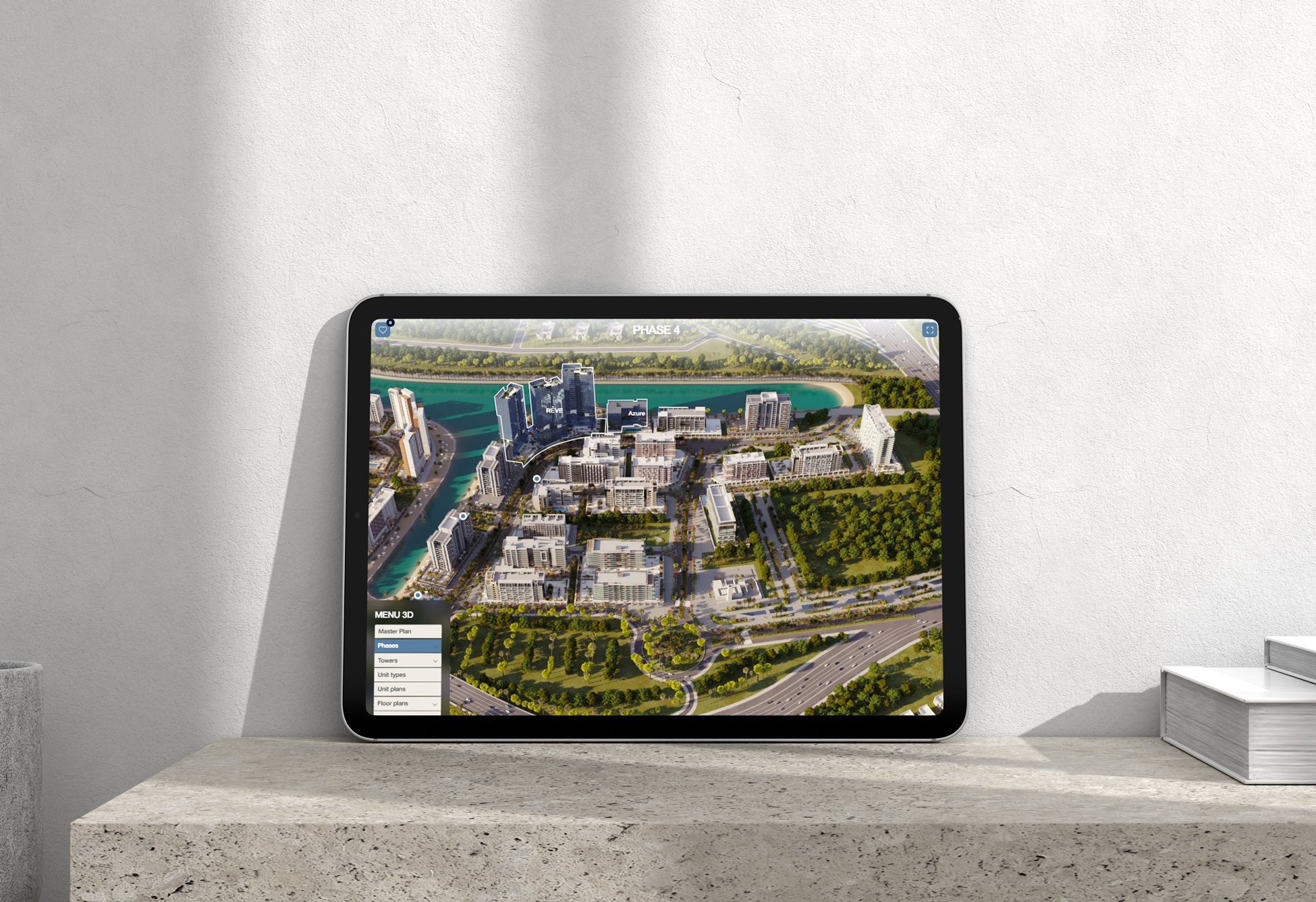
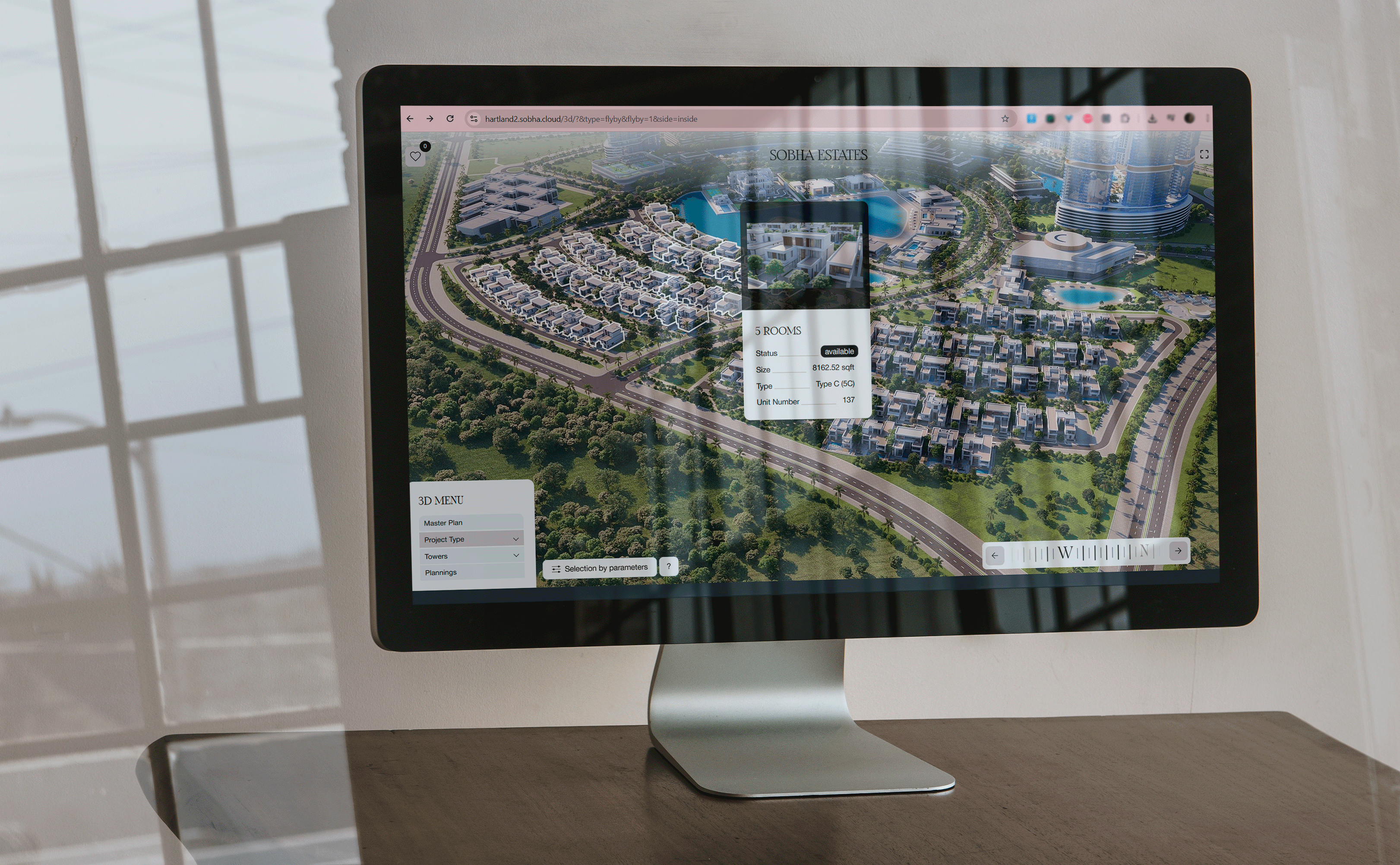
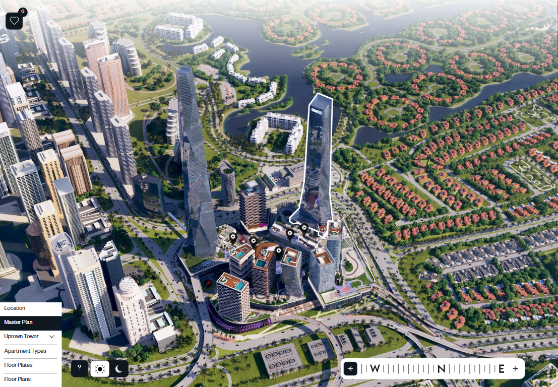
An interactive 3D masterplan allows you to combine all these aspects into a single digital model that makes complex systems understandable.
Smart city projects: visualization of data and scenarios
In smart city initiatives, not only buildings but also technology plays an important role. Transportation systems, energy consumption, environmental solutions, and digital infrastructure – all of these are difficult to explain using static materials. An interactive masterplan allows us to show how these systems work together. Users can see not only the physical structure of the city but also scenarios of how it functions: traffic flow, activity zones, and infrastructure interactions. This transforms the presentation from a collection of facts into a compelling narrative about the future of the urban environment.
New Urban Districts: From Concept to Lifestyle
In projects for new urban districts, it’s important not only to explain the architecture but also to create a lifestyle. An interactive 3D masterplan helps show what the district will look like as a whole: the layout of residential buildings, public spaces, green areas, and commercial infrastructure. Users can explore the area, understand how the environment functions, and imagine themselves as part of it. This is especially important for investors and future residents, who are evaluating not just a single building, but the quality of life in the neighborhood.
Redevelopment: Explaining the Transformation
Redevelopment projects have their own unique characteristics – they involve changing an existing environment. This means it is necessary to explain not only what will be created, but also how the area will change. An interactive 3D masterplan allows you to visually demonstrate the transformation: what the area looks like now and what it will look like after the project is completed. This is especially important for communicating with the public and city authorities, where transparency and clarity of decisions play a key role.
Infrastructure Planning: Making the Complex Clear
Infrastructure projects are among the most difficult to grasp. Transportation systems, logistics networks, and utility networks often remain “invisible” to the end user. An interactive master plan helps make them understandable. It allows for the visualization of traffic flows, connections between zones, and accessibility to different parts of the city.
For investors, it’s an opportunity to assess a project’s effectiveness; for city authorities, it’s a planning tool; and for residents, it’s a way to understand how their environment will change.
A Communication Tool for All Stakeholders
Urban projects always involve many stakeholders: developers, investors, architects, city authorities, and the community. An interactive master plan serves as a common language for everyone. It helps avoid misunderstandings, makes the discussion process more transparent, and speeds up decision-making. When all participants see the same project in an easy-to-understand format, communication becomes much more effective.
In large-scale urban projects, an interactive masterplan goes beyond being merely a visualization tool. It becomes a platform that unites ideas, data, and interaction into a single system. It is precisely because of this that complex concepts – from smart cities to redevelopment become understandable, compelling, and ready for implementation.

Get in Touch
Drop us a line or give us a ring. We love to hear from you!